Q-CTRL reports a six-hour gravity-aided navigation trial at sea
An August preprint describes an 83-kilometer maritime evaluation, with maps and conventional inertial inputs still part of the system.
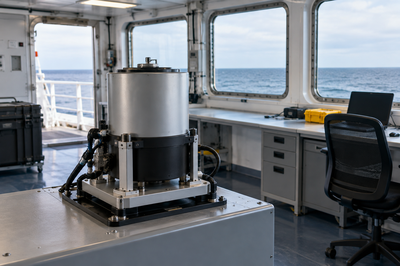
Q-CTRL reported a maritime quantum-navigation demonstration on August 27, 2026, with an accompanying preprint describing roughly six hours of gravity-aided navigation over 83 kilometers. The result gives maritime evaluators a documented field example beyond a laboratory sensor claim.
The company release and paper come from the same research effort. They are two references, not independent replications.
The system uses more than a quantum sensor
The authors combine an atomic sensor with classical acceleration and inertial measurements, then match gravity observations to a satellite-derived map. They report nautical-mile-level positioning, with global navigation satellite system, or GNSS, data withheld from the navigation chain and used afterward as a reference.
This is gravity-aided navigation. “GPS-free” does not mean map-free, free of conventional sensors or independent of all previously gathered information.
The result also should not be described as one accuracy value maintained without qualification throughout every future voyage. The paper’s future-work discussion identifies longer-duration navigation as work still needed.
Why a maritime trial matters
A moving vessel is a useful place to ask whether a sensing method survives the conditions of its intended application. For a potential operator, the important issue is how much usable position information the complete system supplies over the route.
A gravity reading and a position estimate are different outputs. The paper connects them through a documented navigation chain, which is more informative than comparing isolated sensitivity numbers.
Our interpretation is that the next evaluation should preserve this chain while changing the operating conditions deliberately. Longer voyages, different map quality and different vessel environments could each expose a separate dependency. Those are proposed evaluation questions, not findings from this trial.
Keep the publication status visible
The cited manuscript is an arXiv preprint. This publication has not reproduced its processing or independently validated the measurements.
The August report supports a bounded account of a field demonstration. It does not establish a replacement for every maritime navigation system, a universal accuracy guarantee or immunity of the complete installation to interference and failure. Its practical value is the more specific evidence it provides for the next stage of maritime testing.
Sources & evidence
Source material checked Sep 11, 2026. Reporting and analysis distinguish documented facts from company claims.
- Q-CTRL reports GPS-free quantum gravimetric navigation in maritime trial ↗Q-CTRL
- GNSS-free quantum gravity-aided navigation and fine-scale marine surveying with a strapdown quantum gravimeter ↗Everitt and colleagues / arXiv
AI-assisted research and drafting. Approved for publication by Liora Beck on Sep 11, 2026.
Continue reading
DIU reports magnetic-navigation gains on a four-hour ocean flight
The September report describes a Honeywell prototype trial, but omits the absolute error data needed for a broader navigation comparison.
What a quantum-navigation trial must disclose
A navigation trial needs an environment, reference system, aiding inputs, and an accuracy measure—not only a sensor headline.